
Mesa Hike
August 15, 2021
Howdy folks,
I don't have much to relate this week other than finally hiking to the top of the mesa that we always see towering over us. My friend that I work with, Valentin, has done it before and we met up on Sunday to hike to the top and back down with his dog, Loka. We left around 10am and got back about five hours later, having covered six miles and having gone both up and back down 1600' in elevation. The Amtrak line goes right through these parts just on the outside of San Jose, so we had Valentin's Dad drop us off just outside of town where a big arroyo cuts through underneath the tracks, necessitating two good-sized tunnels underneath the tracks that allow access to the land beyond. The mesa itself is within national forest land, but it does not run all the way down to the tracks. I believe that in between is land belonging to the town of San Jose, or shall I say to the original land grantees and their descendants to whom Spain gave this land in the late 1700s...the current size of the land grant, as compared to its original size, has been a point of contention between the town and the three different nations that have held the surrounding land since then: Spain; Mexico; and the US. We checked our elevation at the trailhead and it was 6190'(we would later top out at 7760'), said goodbye to his Dad and then adjusted our packs to some sort of comfortable position and hit the trail. I was finally hiking all the way up to the top of Rowe Mesa, or, also, according to other maps: la Mesa de San Juan Jose; Hurtado Mesa; and Glorieta Mesa. Like most places, there are many names for the same thing and it all depends upon who is using the name and where or how they sit as compared to the landmark or natural feature.
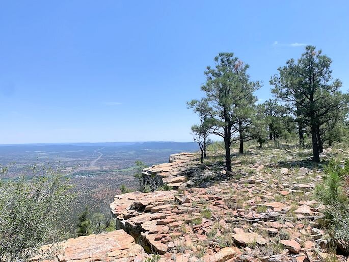
So, it took us two and a half hours to reach the summit. At first, we wandered up the big arroyo that we started in, but as it started hooking away from the mesa, we almost immediately started bushwhacking. There was a thin, straight ridge line about halfway between us and where the mesa started to get really steep, so we aimed first for that spot. We rolled through some rather open ground, grassy at first, with lots and lots of junipers and pinyons. The ground heaved and undulated until we got to the base of the mesa and started having to really climb. 'Til we reached the top, we were going up a nearly vertical fold in the mountain that was heavily wooded, thus allowing us to keep a firm foothold and also use the trunks and branches to pull ourselves up. We never were hanging out over open space like true rock climbing, but we certainly could have gone for a long, long slide back down the mountain if we would have lost our footing. Needless to say, once we summited, the view was absolutely amazing. We went up just left of dead center, where the highest ground is, and then worked our way around the edge of the cliffs until we found a shaded lunch spot. Enjoying having our packs off and being out of the beating sun, we dined on salchichon sandwiches, bananas, bunyuelos & peanut butter crackers. Loka even got about half of the last sandwich, but was too tired to eat it at first...although it only took her a couple of minutes to come around. There was a small wooden cross at the mesa's highest point, but we cut across the top just in from that and went towards Santa Fe to the arm of the cliff that juts that way to examine a six foot tall or so cross made out of pvc pipe. There's a container attached to it where people can put offerings in for the spirits and we opened it up to see if what Valentin had put in there a year or two ago was still there(it was). After that we worked our way back to the lunch spot, put our packs back on and cut across the super-flat top of the mesa back to where we first came up. Then, we tried to see what the best way down was and, after a few false starts, quickly found a huge arroyo that spilled off of the mesa and must just be something to see when it's full! A few times along the way, especially when we first came down off of the top, we had to pick Loka up and carry her down through some really steep areas. The journey down through the arroyo was like entering another world and we found ourselves far away from the rest of the planet, stopping to rest and check out fossils and odd-shaped rocks as needed. Eventually, we made it back down to the first ridge line and were soon almost back. We called Valentin's Dad to come pick us up at the rendezvous spot and found that we had overshot ourselves and ended up on the Amtrak line about a half mile further west than where we should have been. We slowly made our way back to the pickup and were glad for the flat, if not railed, ground. Just as we were getting up to Valentin's Dad and were saying hi, we had to not very leisurely scramble off the tracks as an eastbound train was rapidly approaching a few hundred yards back...what an adventure! Erin's itching to go along next time and see all this, but wanted us boys to scope it out first for her...I don't know, she might not like some of the scrambling and climbing!
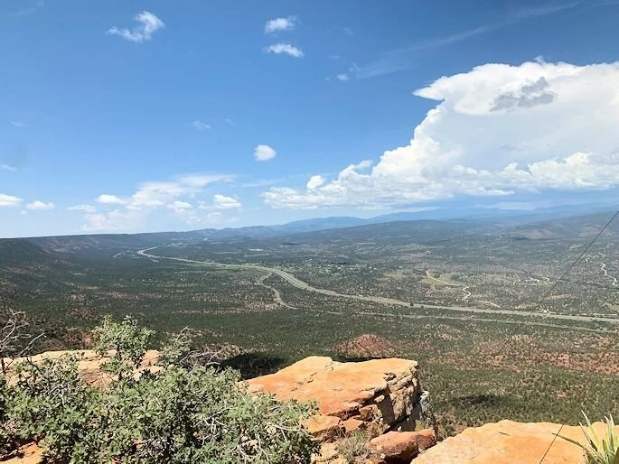
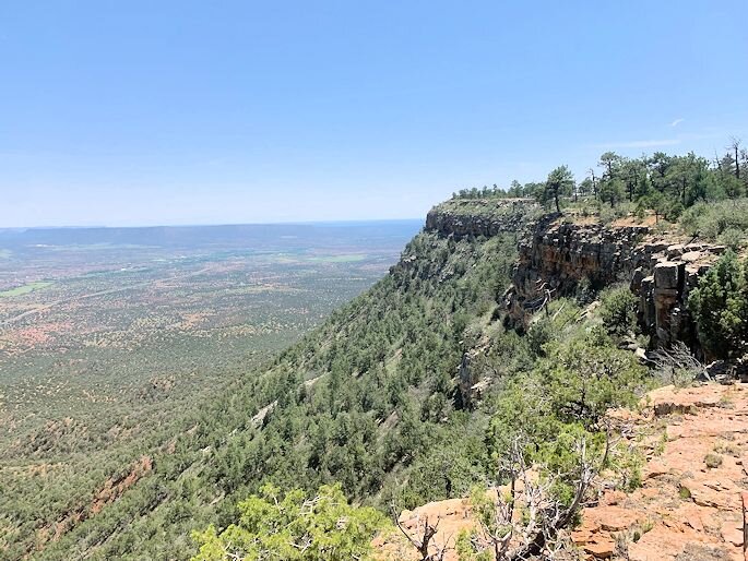
Now, for some pictures! First, an art piece from the reflection I found when I zoomed in on a selfie. Then, one of the clusters of cacti that we were seeing everywhere as we hiked up the mountain...this one was especially big. Next, a shot of the highest point of the mesa as we were almost to the summit. Then, the shady spot that Valentin found for us to have lunch, followed by a shot of him having lunch, a selfie of me and then a closeup of Loka. Next, a shot of Valentin checking out the collection jar for the spirits before putting it back safe and sound. Then, two shots from that arm of the cliff looking upriver towards Pecos and also much further away to the larger Sandia Mountains and the smaller San Pedro Mountains that you can see way in the distance. Next, two shots on our way back along the edge towards our point of descent, looking towards the plains that lie just beyond the range of low mountains that you see in the background and the bright, green strip of the Pecos River on the valley floor. The next four shots are of our descent down through the big arroyo: first Valentin and Loka preparing for the plunge; plus a view of the same sans them; then a look back up a bit further down; and then lastly a bend near the bottom that we took a break in as thunderstorms were looming. Then, two looks back up at the mesa as we were first more underneath it and then a wider shot right before we made it to the railroad tracks. Lastly, a shot looking west towards the end of the line in LA once we made it to the tracks and then a shot of the trailhead back where it all began.
Take care!
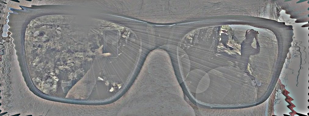
Reflections
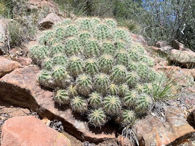
Cactus Colony

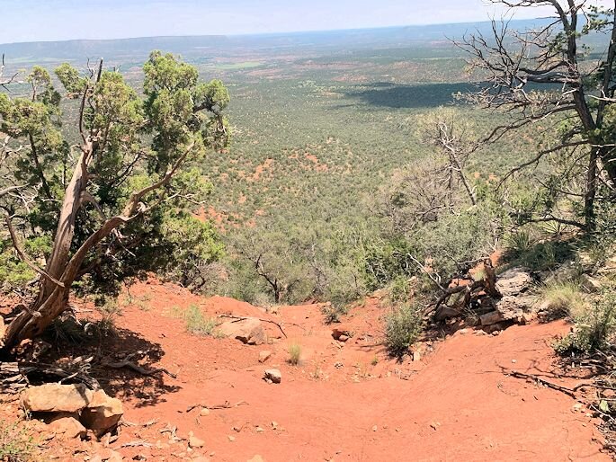
Top of the Mesa

Looking Towards Santa Fe

Lunch Break
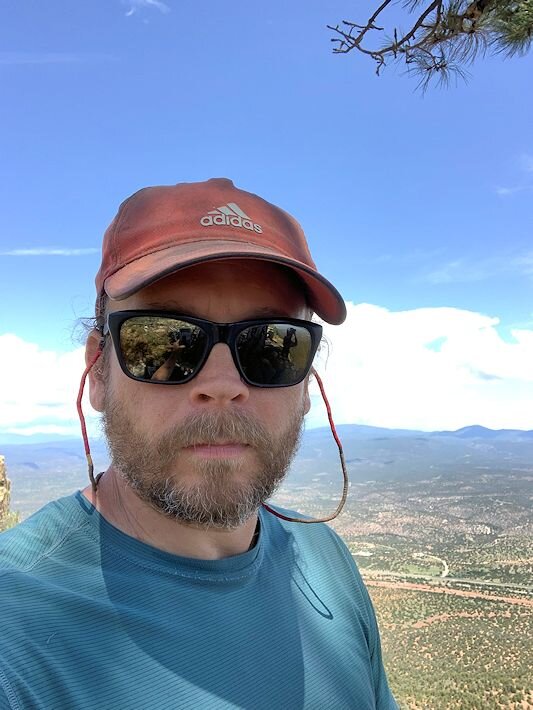
Scott
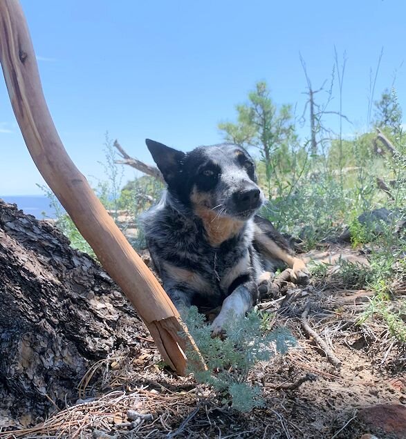
Loka
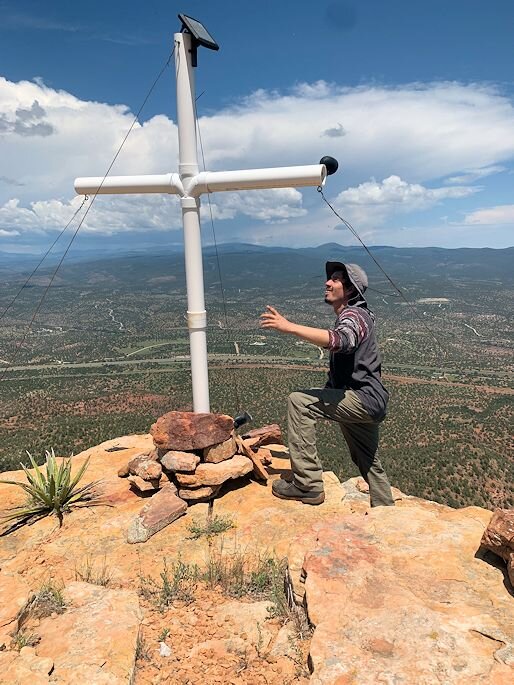
Checking on the Spirits

Distant Sandia Mountains
Looking Upriver
Looking Towards the Plains
Pecos River Valley

Preparing for the Plunge
Down the Arroyo
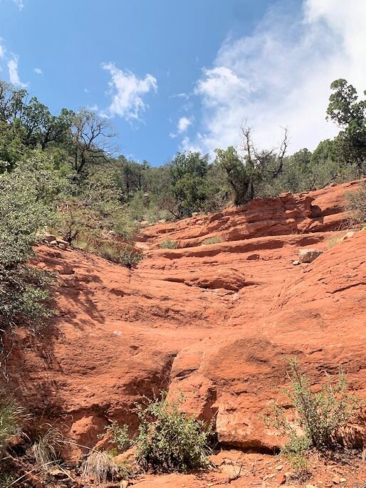
Up the Arroyo
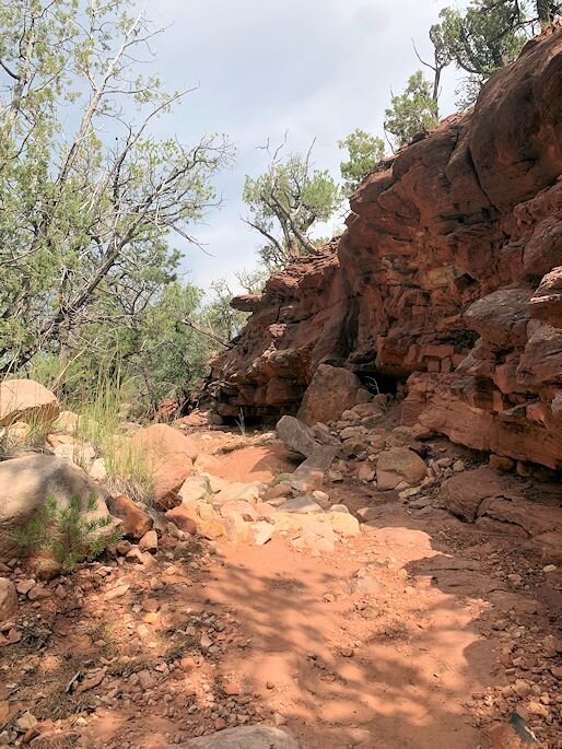
In the Arroyo

Looking Up

One Last Look

Headin' West
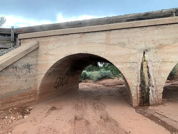
Trailhead